Electronic Navigation Presented by Garmin and Navionics
Charts and Maps: Understanding the cartography options available and choosing the right charts for you.
ONLINE COURSE OVERVIEW
This course will provide information to help you understand which charts and maps you need, whether using your mobile device, a Garmin chartplotter or another brand of chartplotter. You’ll learn about the different mapping products and features that Garmin offers, compatibility and how they can benefit you.
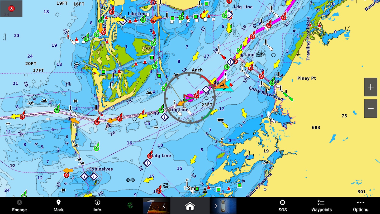
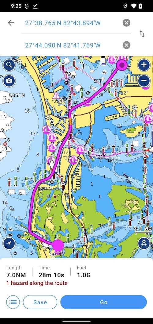
Cartography provides important information to help you navigate with peace of mind and enjoy your time on the water. With Garmin’s Navionics cartography you receive feature-rich, all-in-one mapping solutions for nearly any device that give boaters the ability to seamlessly explore both inland and offshore waters. For your Garmin chartplotter, you have Garmin Navionics+ as standard or for additional features Garmin Navionics Vision+. If using another brand of chartplotter, you have Navionics+ standard or Navionics Platinum+ premium mapping. There is also the Navionics Boating app that is a must have for cruising, fishing, sailing, diving and all your activities on the water for both Apple or Android devices.
This class will cover a wide variety of topics from boat buying to navigating the ever evolving world of insurance.

List of Topics:
- Charts and mapping for Garmin chartplotters: Garmin Navionics+ and Garmin
- Navionics Vision+ and the ActiveCaptain app
- Charts and mapping for third-party chartplotters: Navionics+ and Platinum+
- Navionics Boating app
- Live Demo

